
Finding and eliminating land mines is a painstakingly slow process, with human deminers meticulously combing through contaminated terrain using handheld metal detectors. They patiently await the distinctive beep signaling a magnetic anomaly. While trained dogs are occasionally employed, metal detectors have remained the primary clearance method since the conclusion of World War II.
Jasper Baur, a Ph.D. student specializing in volcanology and remote sensing at Columbia University, highlights the prolonged stagnation in innovation within this field. Collaborating with Safe Pro Group, a manufacturer of personal protective equipment, Baur is spearheading the development of a drone-based machine-learning technology to revolutionize and expedite demining operations compared to conventional approaches.
The concept is elegantly straightforward: a drone traverses a potentially mined area, capturing a vast array of images. Baur’s algorithm, honed on the visual attributes of 70 varieties of land mines, cluster munitions, and other unexploded ordnance, processes these images to generate a detailed map with precision down to a fraction of an inch. This model can swiftly and accurately identify and map explosives, surpassing the efficiency of manual image review. “Within minutes, a comprehensive map pinpointing all land-mine detections can be generated,” explains Baur.
While boasting an approximate detection rate of 90 percent, the drones are designed to complement rather than replace traditional methods. Baur notes that the approach, while less exhaustive than manual scanning, can swiftly identify potential hazards and cover larger areas.
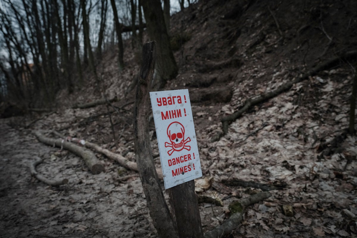
Having conducted multiple tests in Ukraine since the onset of the conflict, Baur and his team aspire to expedite a demining process that, with current resources, could span over 750 years. Ukraine is estimated to encompass approximately 67,000 square miles, an area akin to the size of Florida, potentially harboring mines and explosives. The new system aims to survey vast expanses of land to pinpoint high concentrations of contamination before human deminers are deployed to disarm the mines.
Presently, the AI technology can solely detect surface-level explosives, lacking the capability to identify deeply buried or vegetation-covered ones. Baur’s nonprofit organization, the Demining Research Community, is exploring methods to delve deeper using thermal imaging and ground-penetrating radar. Additionally, they are devising a model to assess the AI’s confidence in its mine-detection outcomes based on the vegetation density.
Milan Bajić, a remote sensing expert involved in demining initiatives in Croatia, lauds this approach as a valuable addition to the demining arsenal. He emphasizes that while there is no singular technological solution, the amalgamation of diverse technologies can yield greater success than any individual method.